The Friends of the Sandwich Range originally proposed to extend
the Sandwich Range Wilderness in eight critical areas as described below, and to
designate a new historic area. (These areas are also illustrated on the
extensions map.) The
red annotations indicate how each area was treated in the
New England Wilderness Act of 2006.
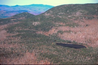 1. Black Mountain Pond Wilderness Extension
This extension is the keystone of this proposal and contains some of the richest
bird habitat in the Sandwich Range. It would increase the current Wilderness
protection for Black Mountain Pond which sits just inside the Wilderness
boundary. The Algonquin and Black Mountain Pond Trails would be entirely within
designated Wilderness, and the extension would protect outlying historic
features, such as Wallace Hill and the Old North Road.
Most of this area has now been
designated as Wilderness.
 2. Jennings Peak Wilderness Extension
This extension would protect fragile subalpine habitat and open ledges along the
ridgeline. Currently the ridge has no trail, and wilderness protection would
increase the likelihood of leaving the area undisturbed. It would also add
wilderness protection to three trails leading from Waterville Valley into the
Sandwich Range Wilderness: the Sandwich Mountain Trail, Drakes Brook Trail and
Fletcher's Cascade Trail. This area has now been
designated as Wilderness.
 3. Lost Pass Wilderness Extension
A historic, but low-human-use-area of stunning isolation, primarily accessible
in winter by skiers and snow walkers. This extension would create a wilderness
buffer to the west of Lost Pass, and preserve and enhance unspoiled backcountry
for primitive skiing and snowshoeing, providing an alternative to commercially
groomed trails such as those in Waterville Valley. This area
has now been designated as Wilderness.
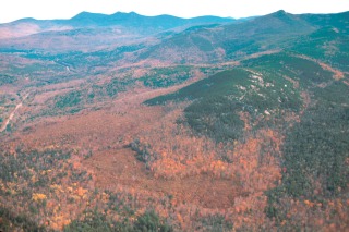
 4. Scar Ridge Wilderness Extension
At 22,300 acres, this largest of the proposed extensions contains the Greeley
Ponds Scenic Area and a remote, trail-less ridgeline visible from the Kancamagus
highway. This extension nearly doubles the size of the Sandwich Range Wilderness
and reduces the gap between it and the Pemigewasset Wilderness to the north,
creating a potential north/south wildlife corridor bisected only by the
Kancamagus. Although this area was not part of the
New England Wilderness Act of 2006, we will continue to work with
the USFS to ensure that this area is managed so that it will remain
eligible for future Wilderness designation.
 5. Square Ledge Wilderness Extension
The environs of Square Ledge are home to peregrine falcons, moose, bear, and
other reclusive creatures. This extension would add critical protection for
wildlife habitat currently outside the wilderness boundary, while preserving the
wild character of the Square Ledge Trail between the summit of Mt. Passaconaway
and Oliverian Brook, and the prime viewshed from the UNH trail on Mt. Hedgehog. This area
has now been designated as Wilderness.
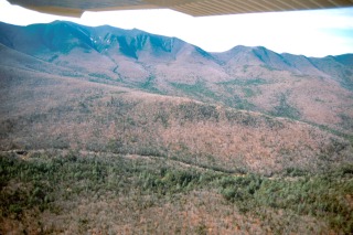
 6. Mt. Paugus Wilderness Extension
This extension offers a rare opportunity to protect undisturbed wildlife habitat
in a remote and trail-less area, protect the view-shed to the southeast from the
heavily-used UNH trail, and create a northern buffer for Mt. Paugus against
encroaching timber harvesting. This area has
now been designated as Wilderness.
 7. Wonalancet Wilderness Extension
This area contains a concentration of historic trails that are "gateways" to the
Sandwich Range Wilderness. This extension would protect them from physical and
visual damage of logging operations and preserve such natural treasures as the
200-year-old spruces, cascades, flumes and plunge pools along the Kelly Trail,
and the environs of the spectacular Big Rock Cave.
Some of this area was included in the New
England Wilderness Act of 2006. We will continue to work with the USFS to ensure
that the remaining areas are managed to maintain their eligibility for
future Wilderness designation.
 8. Flat Mountain Wilderness Extension
An area historically regarded as wild even during the population crest of the
mid-1800s. This extension would create a wilderness relatively accessible from
town roads for those unable to hike to more remote areas and would protect the
currently unspoiled view sheds of the area from Bennett St., Whiteface Intervale
Road, Rt. 113-A, Mt. Israel and Young Mountain. This area is completely
surrounded by existing federal wilderness and private land that is
protected by conservation easements and/or in current use.
Although this area was not included in the New
England Wilderness Act of 2006, we will continue to work with
the USFS to ensure that this area is managed so that it will remain
eligible for future Wilderness designation.
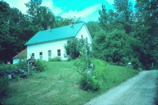 Sandwich Notch Historic Area
From its peak in the mid-1940s, the Sandwich Notch community has
diminished from over forty homes to just one. In order to provide
for the protection and interpretation of its rare historic features, the Friends propose
that the immediate vicinity of the Notch Road be designated as a Historic Area
(not Wilderness).
This designation would allow for continued recreational use and travel
across the Notch Road, while providing long-term protection for the many historic sites
including cellar holes, barn
foundations, mill sites, and wells, plus the remains of one of the longest logging railroads
in White Mountain history. Rather than
establishing a historic area, a portion of this area was included in the
New England Wilderness Act of 2006.
We will continue to work with the Forest Service to ensure that the
remainder of this area is managed with proper care and protection of its
historic values.
Please see the Fact Sheet for details, or read
about Wilderness Myths.